Pockets of higher temperatures in urban areas pose health threats, particularly to marginalized communities. By mapping these areas, experts hope to get a better sense of effective ameliorative strategies.
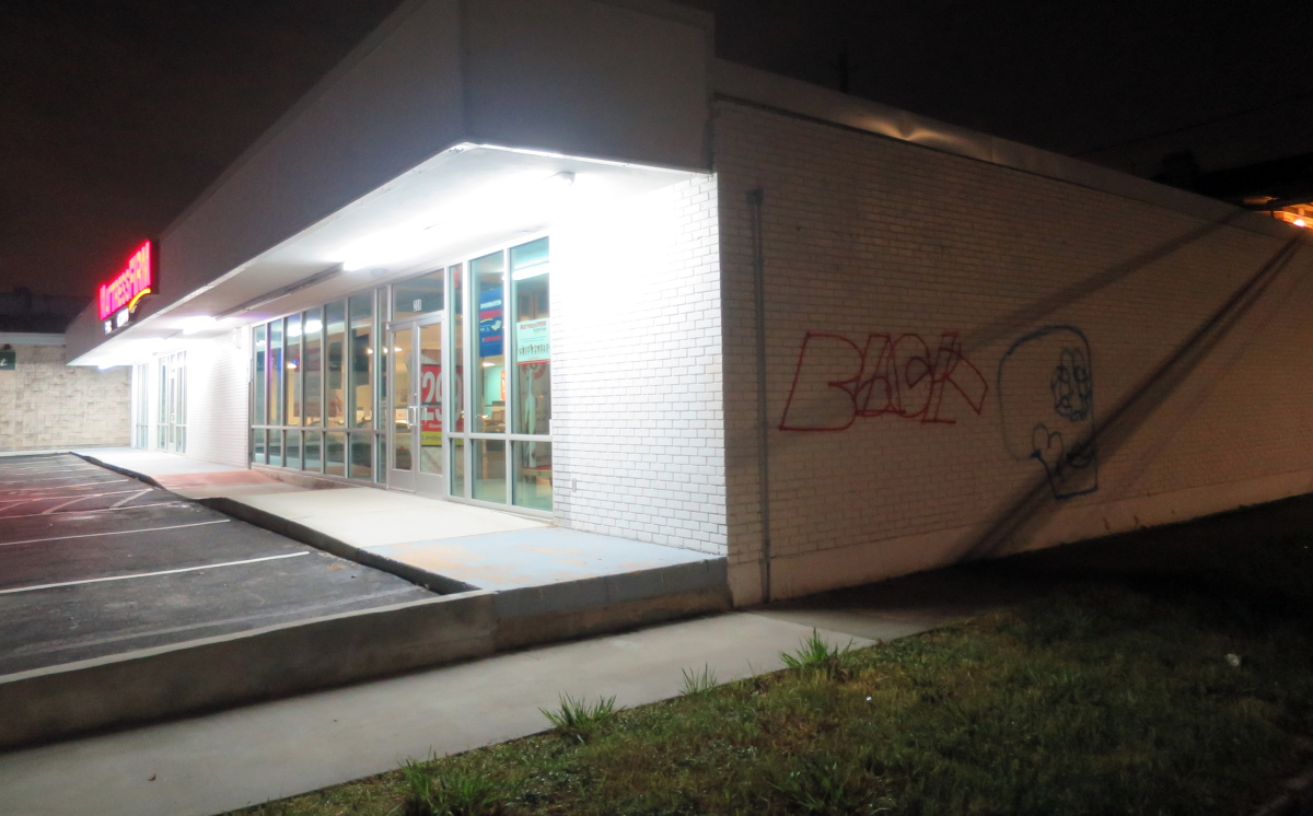
An August night in Houston, 2016
Heat kills more people than any other weather-related hazard. According to the Centers for Disease Control and Prevention, extreme heat kills more than 600 people in the United States each year.
Rising temperatures fueled by climate change disproportionately affect urban areas, with marginalized communities often feeling the heat more. In 2018 Harris County had 15 heat-related deaths, and Jessica Abbinett, climate program coordinator for Harris County Public Health, told Texas Climate News she expects to see more days exceed the threshold for heat advisories and warnings in the future.
To help cope with increasing heat, Houston and Harris County are participating in an Urban Heat Island Mapping project coordinated by the federal government’s National Integrated Heat Health Information System (NIHHIS).
Urban heat islands are areas with temperatures much warmer than their surroundings, caused by unshaded roads and buildings that absorb heat. Highly developed urban areas can experience mid-afternoon temperatures 15 to 20 degrees F warmer than nearby vegetated areas.
This is the third year NIHHIS, which was developed by the National Oceanic and Atmospheric Administration and CDC, has partnered with a company called CAPA Strategies to support mapping campaigns. The 2020 project’s 13 participants include two other Texas cities, Austin and El Paso, as well as Burlington, Vermont; Cincinnati; Detroit; Jackson, Mississippi; Las Cruces, New Mexico; Miami; New Orleans; Roanoke, Virginia; Seattle; and San Jose/Santa Clara, California.
The cities were selected based on need, according to Hunter Jones, climate and health project manager in the NOAA Climate Program Office. Jones said in a June webinar about the project that with heat waves expected to continue to worsen, cities need better information to respond, including which interventions and what locations work best.
“Heat mapping allows us to look at where people actually are walking, biking, waiting at bus stops,” Abbinett said. “The maps help us dive into finer details and look at how heat is distributed at the neighborhood and community level.” The Houston Harris Heat Action Team plans to map 32 sections of 10 square miles each.
Marc Coudert, environmental conservation program manager for Austin’s Office of Sustainability, told TCN that satellite images reveal heat in places with big parking lots, such as airports and malls. “But they don’t tell you about how people in communities on the ground deal with heat and what it means for communities that have least amount of resources.”
To create the maps, volunteers will drive pre-planned routes three times on an appointed day, at 6 a.m., 3 p.m. and 7 p.m., with sensors that record temperature, humidity and precise location every second.
El Paso selected 100 square miles of area to map, Fernando Berjano, sustainability coordinator for the city, told TCN. “El Paso is 260 square miles, so we worked with the University of Texas at El Paso and city census data to focus on the most vulnerable areas.”
“We’re making some general assumptions and will see if data correlate or not,” Nickole Rodriguez, El Paso community development program manager, told TCN. “When we talk about heat island effect, we want our resilience strategy to see if the heat island effect adds an additional layer of risk for our marginalized communities.”
Berjano adds that temperature data already show increasing days of triple-digit temperatures every year and a longer hot season.
Strategies to mitigate the effects of urban heat islands include increased tree cover, white roofs, more crosswalks so people don’t have to walk as far, and more bus shelters.
Planting trees in the right place is key, said Jaime Gonzalez of The Nature Conservancy, an environmental nonprofit that is part of the Houston/Harris County project. “If we know where the hottest neighborhoods are, especially those in the inner city with vulnerable communities, we can make sure canopy cover is strong so they don’t suffer disproportionately.”
He notes that some disadvantaged neighborhoods have low car ownership rates, meaning people have to walk a long way to school, the grocery store and elsewhere. These areas also often have less tree canopy.
“Houston is slated to grow a lot in coming decades, and we want to work with urban planners, transportation officials and others to think about how we grow,” Gonzalez said. “We know that as natural space, which is typically cooler, gets replaced by pavement and surfaces that retain heat, the city gets hotter.”
Adding to the problem, nighttime temperatures rose dramatically from 1970 to 2018. Austin’s average temperature at night rose 2.4 degrees; Houston’s, 5.1 degrees; and El Paso’s, 7.7 degrees.
“If it is not cooling off at night as much as it used to, your health is going to be affected,” Gonzalez said. “Anything we can do with trees or technology to keep places from getting as hot during the day so they don’t emit as much heat at night, that’s double impact. People can take a break.”
Heat islands affect quality of life and human health and comfort and increase risk of respiratory illnesses, heat exhaustion, heat stroke and heat-related mortality. They also cause increased energy consumption to air condition homes and buildings, which in turn increases emissions of air pollutants and heat-trapping gases.
A study in Philadelphia suggests that increased tree canopy or green space could prevent between 271 and 400 premature deaths per year, particularly in urban areas with lower socioeconomic status where existing tree canopies tend to be the lowest.
“As more and more people live in cities and our cities grow warmer, if we are concerned about health and prosperity, we have to have our eyes on that,” Gonzalez said.
+++
Related coverage by Texas Climate News
Those hot summer nights are getting hotter as climate change progresses
Walkable cities are friendlier – but what if climate change makes it too hot to walk?
Yes, Texas summers really are hotter, more humid today than 40 years ago
Football and heat: Can the two coexist in Texas’ hotter future?
+++++
Melissa Gaskill is a contributing editor of Texas Climate News.