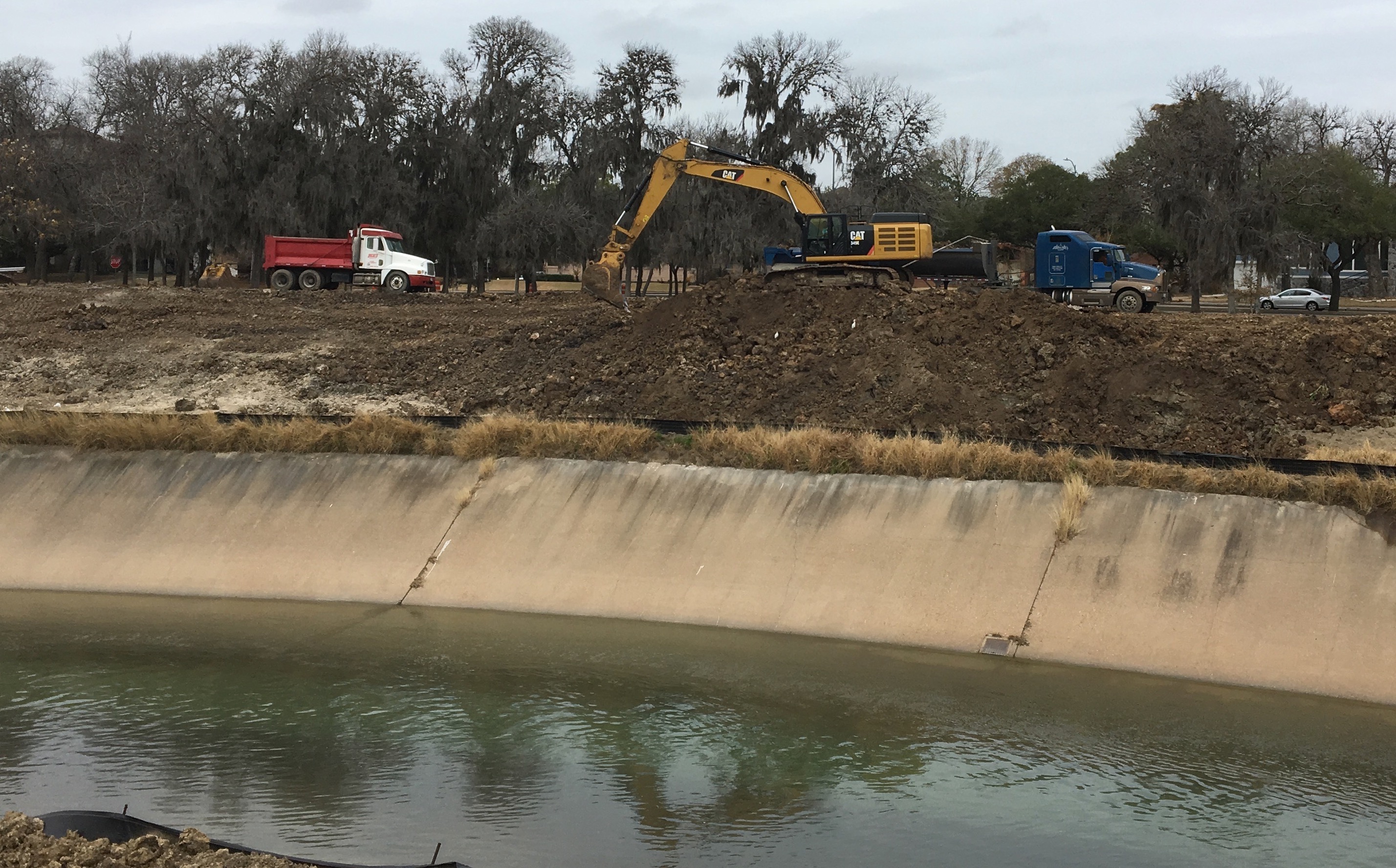
Houston’s Brays Bayou, where devastating flooding in Hurricane Harvey and other recent storms inundated many homes in nearby neighborhoods, is the site of continuing flood-control work. The multi-stage project began after Tropical Storm Allison brought catastrophic flooding to Houston in 2001.
By Melissa Gaskill
Texas Climate News
As Earth’s surface temperature continues to rise because of climate-warming pollution, changes in rainfall patterns are expected to present an increased risk of flooding worldwide.
With temperature increases locked in for at least another 20 to 30 years because of past emissions, people across North America and elsewhere must take significant preventive actions just to keep risks of river flooding just from rising above the level of recent decades, researchers have calculated.
Their study, published last month in the journal Science Advances, reinforces warnings from other climate scientists to Texans about the increasing dangers posed by severe rainfall after devastation and loss of life in several river-flood episodes over the past few years.
According to the new study, river flood events are already among the most common and devastating natural disasters worldwide and were the main cause of internal displacement – the forced movement of people within a country – from 2008 to 2015. During the next 25 years, the researchers’ models project strong increases in flood risk in North America, northern Europe, northeast Asia and all equatorial regions.
The study’s lead author, Sven Willner of Germany’s Potsdam Institute for Climate Impact Research (PIK), delivered this warning in an announcement: “More than half of the United States must at least double their protection level within the next two decades if they want to avoid a dramatic increase in river flood risks.”
That will mean taking actions such as enhancing dikes, improving river management, increasing building standards or relocating settlements, the study authors said. Otherwise, they estimated, the number of people affected by the worst 10 percent of all river-flooding events will increase from 0.1 million to 1 million in North America – a tenfold increase.
The number of people affected and the need for adaptation could both be much greater. More people may be impacted because the study’s models account for an increase only in flood intensity, not in the frequency or duration of flood events. The adaptation need could be larger because the study looked at river flooding alone, while cities also are susceptible to flash floods and, in coastal areas, to storm surge. Both are expected to worsen due to climate change.
Texas has seen its share of intense river flooding in recent years, most recently last year when Hurricane Harvey inundated wide areas, including neighborhoods along some of Houston’s many small streams and rivers, known locally as bayous.
The Category 4 hurricane made landfall near Rockport, northeast of Corpus Christi, on Friday, Aug. 25. Inland areas of South Central Texas, east and southeast of Austin, were significantly affected in following days.
According to the National Weather Service, Harvey dropped more than 20 inches of rain on Bastrop, Fayette, Lee, Lavaca and Gonzales counties. Nine miles east of Smithville in Fayette County, 29.09 inches of rain fell. The Colorado River at La Grange, crested at 54.18 feet, the third highest crest on record and the highest in 104 years. Near Cuero, the Guadalupe River crested at 44.36 feet, its second highest on record. Both towns experienced major flooding.
Subsequently moving into Southeast Texas, Harvey dumped more than 30 inches of rain in many parts of Houston, and 60.58 inches to the east in Nederland, in the Beaumont area, qualifying it as the wettest tropical cyclone on record for both Texas and the U.S.
The Houston National Weather Service office recorded all-time record daily rainfall accumulations on August 26 (14.4 inches) and August 27 (16.08 inches) – requiring the addition of two new colors to its rain index. After the storm had passed, the Houston NWS office announced that of 67 “River Forecast Points” in Southeast Texas, about 90 percent had reached flood stage, about 69 percent had reached major flood stage and about 46 percent had set flooding records.
Harris County, the central and most densely populated part of the Houston region with 4.5 million residents, was particularly hard hit. In all, an estimated 1 trillion gallons of rain fell across the county over four days, enough to cover the county’s 1,800 square miles with an average 33 inches of water.
By Aug. 29, water covered as much as 30 percent of the county, at least 444 square miles, an area six times the size of Washington, D.C. The county typically receives 50 inches of rain per year on average, according to the Harris County Flood Control District, which estimated that Harvey flooded more than 120,000 structures in Harris County alone.
It should be noted that in Houston and elsewhere in Texas, flooding from Harvey was not caused only by rain-swollen bayous and rivers. It also was due to factors such as waters escaping from Addicks and Barker reservoirs on the west side of Houston and, in coastal areas, because of storm surge, which peaked at six feet in Port Lavaca.
In the two years preceding Harvey’s devastation, Houston experienced other river-flooding events with significant and damaging impacts. The Harris County Flood Control District reported that a flood May 27-28, 2015 drenched Houston with 11 inches and one April 16-17, 2016, dropped more than 16 inches. Both represented 500-year-level rainfalls.
In Harvey’s wake, additional flood protection is understandably on many minds in Harris County. The Army Corps of Engineers, for instance, proposed a Metropolitan Houston Regional Watershed Assessment to examine 22 watersheds in the region and recommend flood-control measures, including infrastructure. The Harris County Commissioners Court is discussing a possible bond issue of perhaps $1 billion or more to finance improvements, and other measures have been proposed by the flood control district.
The authors of the globally focused study in Science Advances stress that added flood protections are essential in many regions around the world, as already-emitted greenhouse gases will drive warming temperatures and increased flood risk for two or three decades, regardless of emission cuts now and in coming years.
Without aggressive reductions in greenhouse-gas emissions, severe flood risks along rivers could rise even higher than they project, they cautioned.
As co-author Anders Levermann of PIK and Columbia University’s Lamont-Doherty Earth Observatory in New York, stated: “The findings should be a warning to decision-makers.…The time has come where mitigating future climate change must be accompanied by adapting to the climate change that we already caused. Doing nothing will be dangerous.”
+++++
Melissa Gaskill, an independent journalist based in Austin, is a contributing editor of Texas Climate News.